
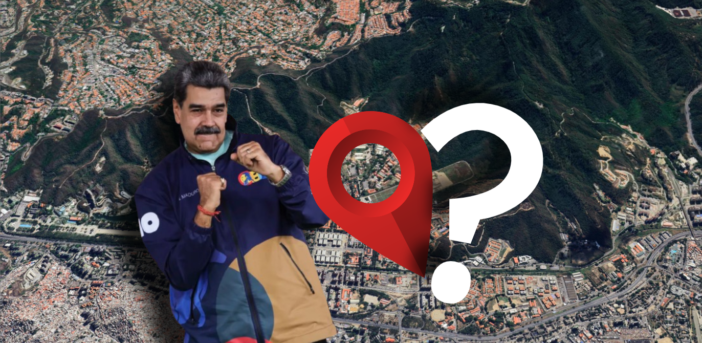
On January 3rd, 2026, the world woke up to a scene that felt like geopolitical fiction: Nicolás Maduro, escorted by U.S. Federal Agents on the tarmac of New York Stewart International Airport.
Official reports state that special operations forces reached Maduro’s location shortly after initial strikes began at 02:01 local time. Since then, the Pentagon has maintained total radio silence regarding tactical specifics, merely citing an “extraction in a contested environment.” Meanwhile, the Venezuelan military command has offered no further details. In this information vacuum, Open Source Intelligence (OSINT) is vital to understanding how Venezuela’s most protected man was snatched from his sanctuary.
This article focuses exclusively on identifying the capture site, providing the foundation for a more technical upcoming timeline analysis. I will try to explain the whole timeline in more detail in another, more technical article.
Rotor Symphony: Timeline & Evidence
To separate fact from speculation, I have cross-referenced all available footage to pinpoint the most likely extraction zone: (10.443637, -66.918400).

Rather than asserting absolute certainty, I am presenting the evidence that makes this location highly probable, based on the various points of view (POV) that I have documented, as well as those of the GeoConfirmed community.
Here is a map I made for reference purposes (the helicopters in this map are for illustrative purposes only, to aid understanding; they do not represent the exact locations).
To simplify the explanations, I will refer to the names of the viewpoints in this article based on the map (POV A, B, etc.):
Objective 1: Estimating the Strike Package
POV D reveals a significant fleet of at least 12 helicopters: 5 MH-60Ms (attack/escort), followed by 5 MH-47 SOARs (heavy troop transport), and 2 additional MH-60Ms. The deployment of multiple MH-47s is a clear signature of a ground-capture mission rather than a targeted strike. It is possible that more helicopters were deployed.

Given the situation, several helicopters may not have been filmed at the beginning of the video. As a reminder, the video was shot far away from the bombings and in the middle of the night.
Objective 2: Mapping the Infiltration
While the exact launch point remains unconfirmed, visual evidence confirms the fleet approached from South Caracas.
- POVs A and E clearly show the aircraft entering the Fuerte Tiuna valley under total darkness, following the precision strikes on the city’s power grid.

- Data suggests the force split into several groups: including a large group hugging the western valley and a smaller element descending rapidly on the eastern flank.
- POV D shows helicopters in formation that appear to be flying along “Troncal 1” south of Caracas. It is unclear whether this is before or after the assault.


With POV A & E, this would bring the total to 9 MH-60Ms, whereas we only counted 7 in POV D. It is possible that two helicopters were missed in POV D; one can easily imagine that by the time witnesses reacted and started filming, several aircraft might have already passed by. One MH-47 SOAR is also missing; I was unable to locate it in the videos available to me.
The main challenge now is determining if these two videos were recorded simultaneously to avoid double-counting the same aircraft.
In POV C, we observe two MH-47 SOARs following each other, mirroring the formation seen in POV A. Shortly after, a third MH-47 appears in the distance, appearing to descend or even land. Although it may be one of the two elements of POV E, its location via triangulation could suggest that it is another. Since POV I shows one of the helicopters from POV E performing the same maneuver, this MH-47 in POV C could very well be the fifth one.


There therefore appear to be several groups of helicopters. One large group flying along the valley to the west, another that appears to be descending on the east side, and a final group arriving from the top of the hill. In a second article, I will attempt to confirm this hypothesis regarding the groups.

Objectif 3: Dissecting Potential Capture Sites
Other theories suggest that Maduro was captured at site A (10.434753, -66.898514) or site B (10.439875, -66.906362). However, my analysis casts doubt on these locations. No MH-47 was observed climbing toward Site A, which is located at a higher altitude.


Instead, POV I—perhaps the most critical piece of evidence—shows two MH-47s descending toward a specific lowland zone. One aircraft is seen hovering and eventually touching down. This is corroborated by POV F (~3:12-3:16), which captures a massive dust cloud (brownout) consistent with a heavy-lift helicopter taking off from that exact spot. The landing zone coming from POV C is very difficult to locate exactly. That is why I am going to focus on POV I.

In POV J (~2:30-2:42), we see an MH-47 SOAR that appears to be leaving the scene. At present, it is difficult to know which one it was, but this further confirms the location.

By analyzing the images more closely, we can almost say for certain that at least one helicopter landed here.

The “Safe House” Lead
A final piece of the puzzle comes from July 2025. In a previous video, Maduro was filmed in a mysterious location that I have geolocated to this immediate vicinity, another source corroborated the geolocation. The fact that Maduro was seen having coffee here suggests that he may stay at this residence occasionally.

The target area features a large residence, the only new construction in the sector (started in 2018). Its size and isolation suggest it served as Maduro’s private sanctuary, making it the primary target for the Delta Force team.


Conclusion
Integrating flight trajectory data with geolocated footage enabled the identification of a specific landing zone. This analysis provides a more accurate assessment of the tactical situation on the ground than a simple video examination.
Nicolás Maduro’s presence in this specific sector is no coincidence. The geolocation of his recent public appearances, combined with the presence of a secure, isolated residence—whose construction mirrors the tightening of his regime in 2018—points to these coordinates (10.443637, -66.918400) as the most credible site of his capture.
He was known to rotate between various residences, making the U.S. forces’ selection of this specific location a sound tactical decision. Its relative isolation from the rest of Fuerte Tiuna suggests that the Venezuelan regime likely did not anticipate an insertion or strike originating from South Caracas.
While Operation “Absolute Resolve” was a masterpiece of surgical precision, the traces left across the Caracas skyline now allow us to lift the veil on the Pentagon’s secrecy. In my next article, I will provide a deep-dive technical analysis to establish the exact, minute-by-minute timeline of this historic raid.


Leave a Reply to TamanacoVZLACancel reply